Our Services
Aerial Mapping
& 3D Modeling
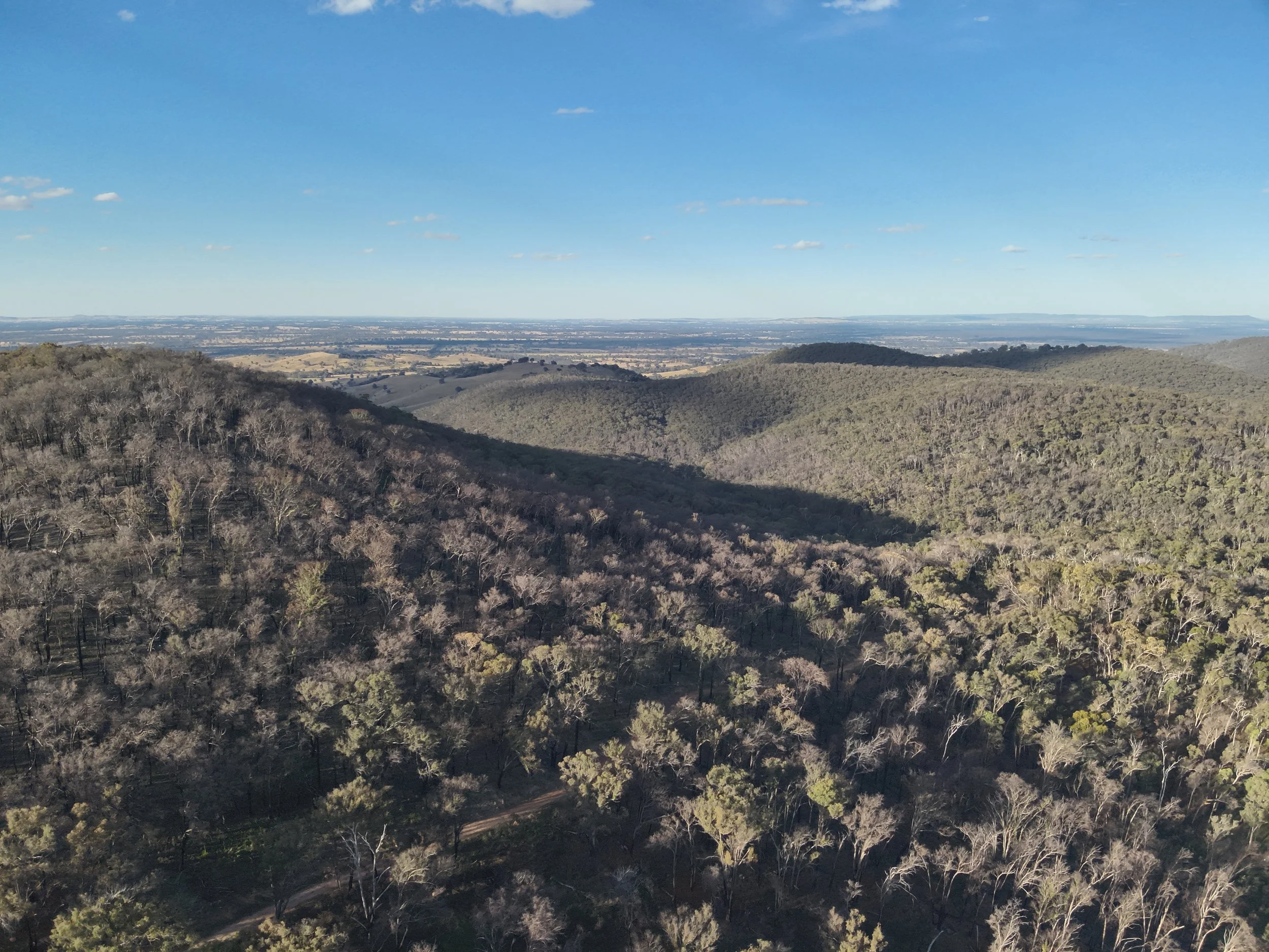
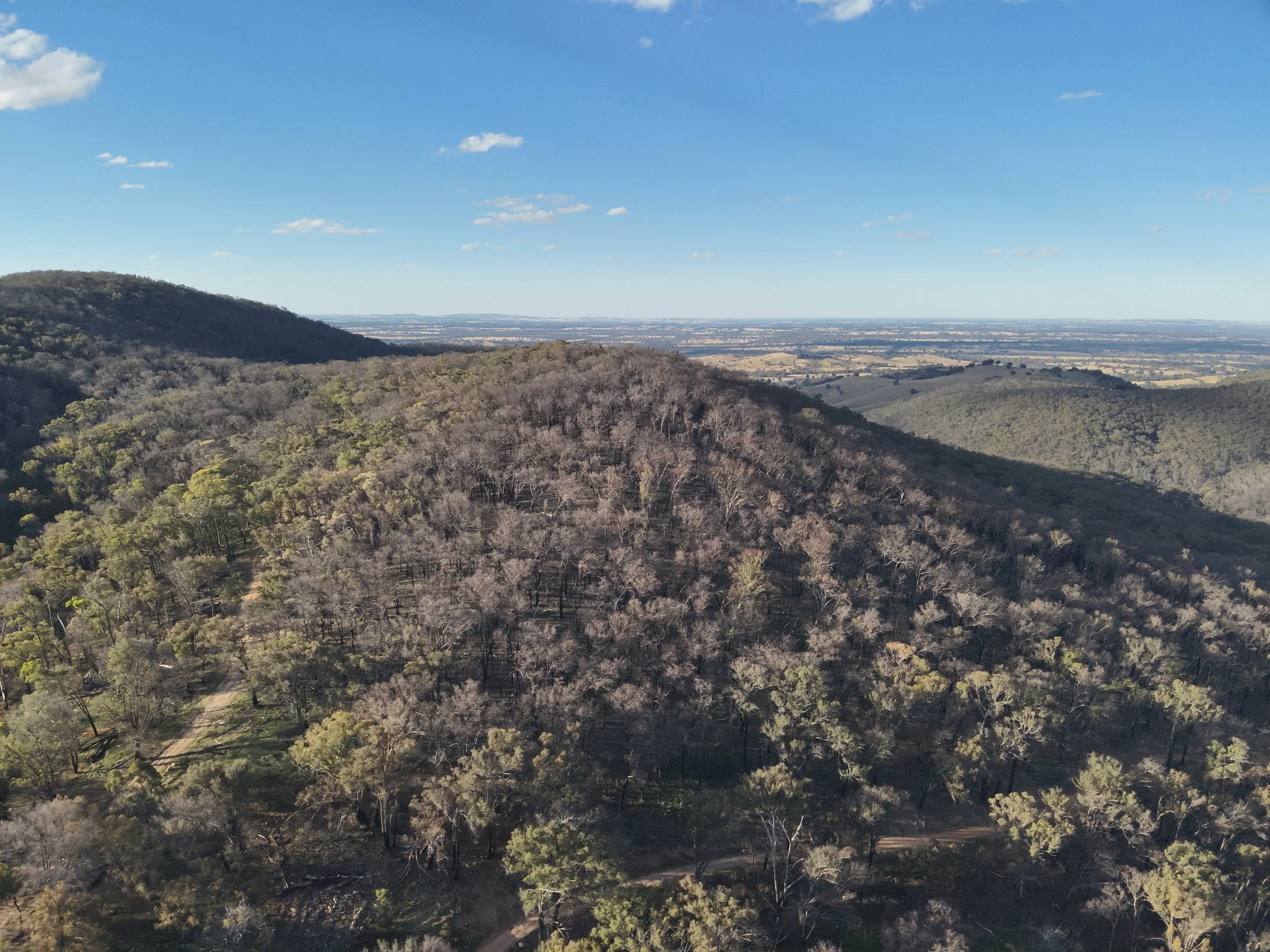
Aerial mapping and 3D modeling produce precise digital representations essential for environmental management, urban planning, archaeology, and infrastructure development. These technologies enhance project planning, site analysis, and decision making by delivering detailed data on topography, structures, heritage sites, and utility networks. The scalable maps offer clear, interactive visualizations, enabling management and stakeholders to effectively monitor project progress and results.
Multispectral
Surveys
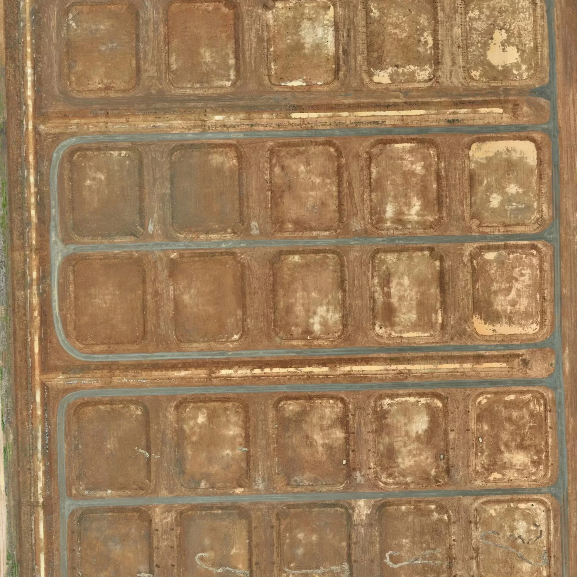
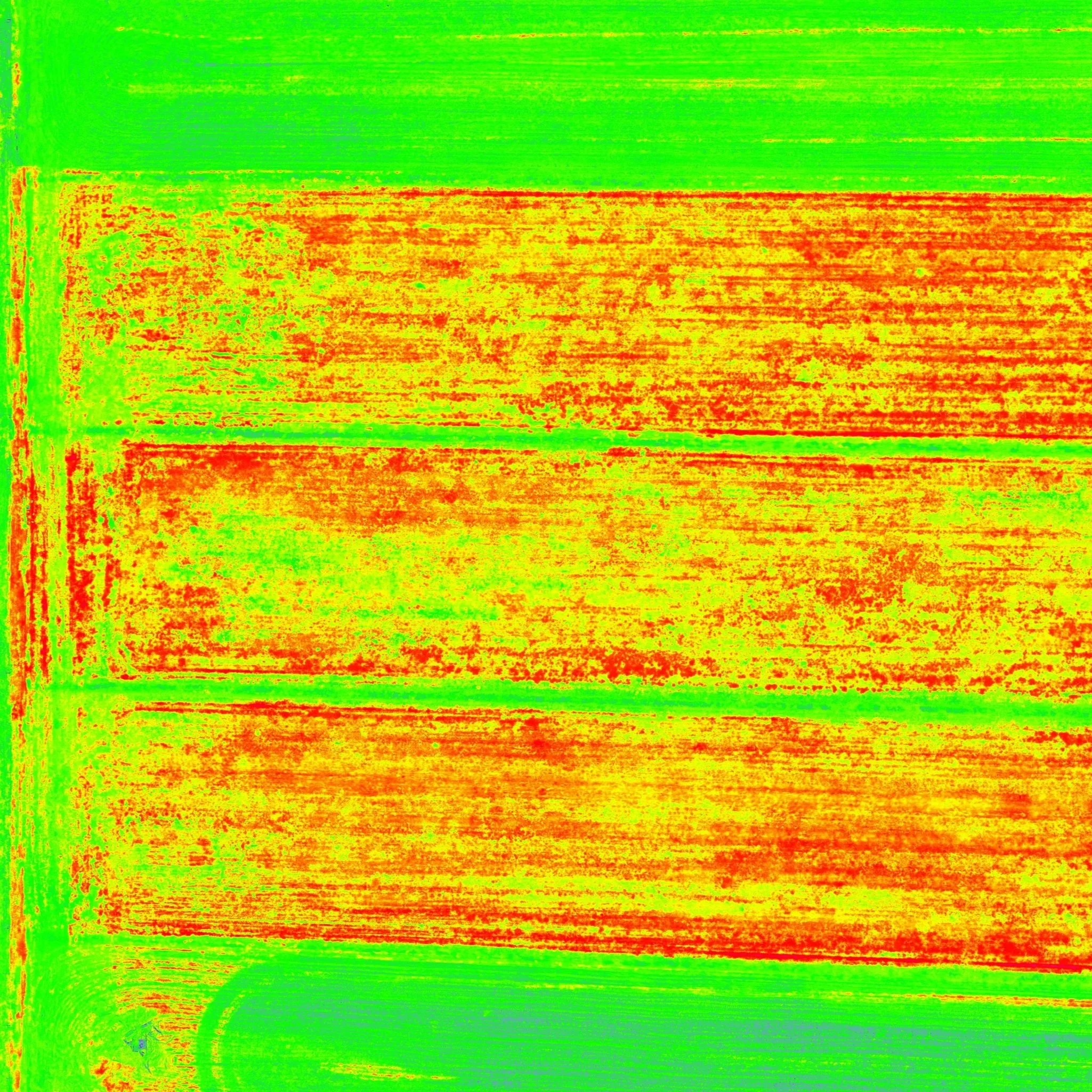
Multispectral surveys capture imagery across multiple wavelengths, delivering vital data for agriculture and environmental management. This advanced technology provides detailed insights into crop health, soil conditions, weed density, and ecosystem dynamics, facilitating precise decision-making and optimized resource allocation.
Asset Inspections
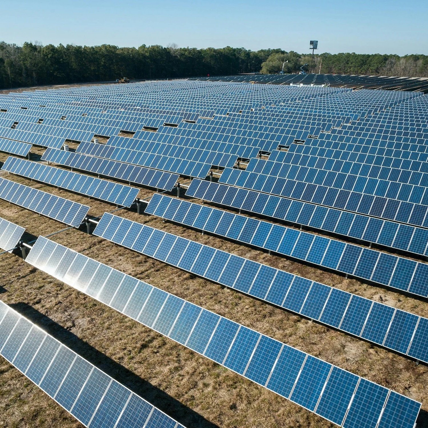
Asset inspections leverage advanced imaging technologies and sophisticated data analysis to thoroughly evaluate infrastructure and equipment. This process enables the precise identification of issues such as corrosion, cracks, drainage defects, and other potential problems. The collected data delivers clear, actionable insights into the condition of assets. Early detection of anomalies is critical for preventing costly repairs.