Our Services
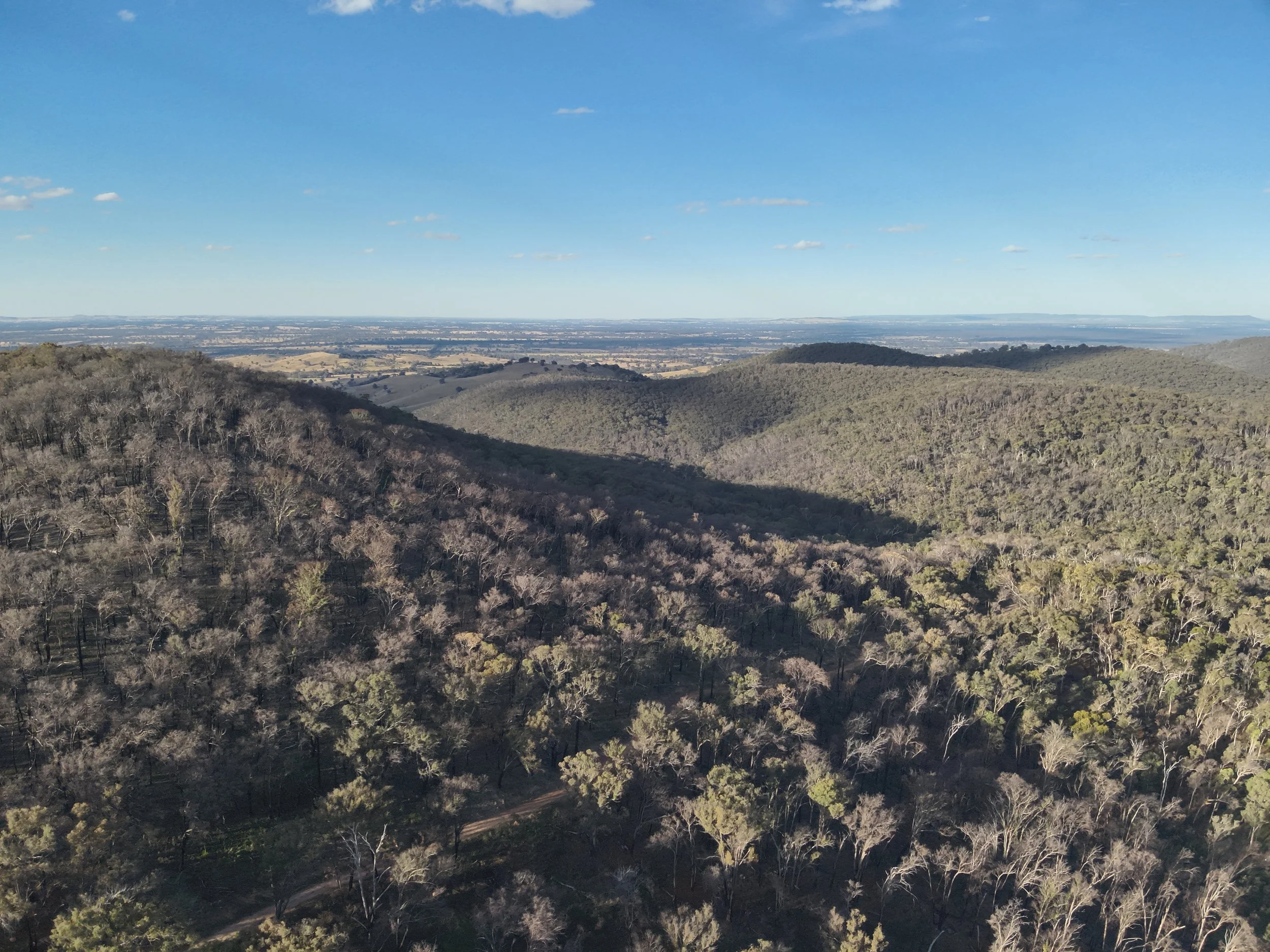
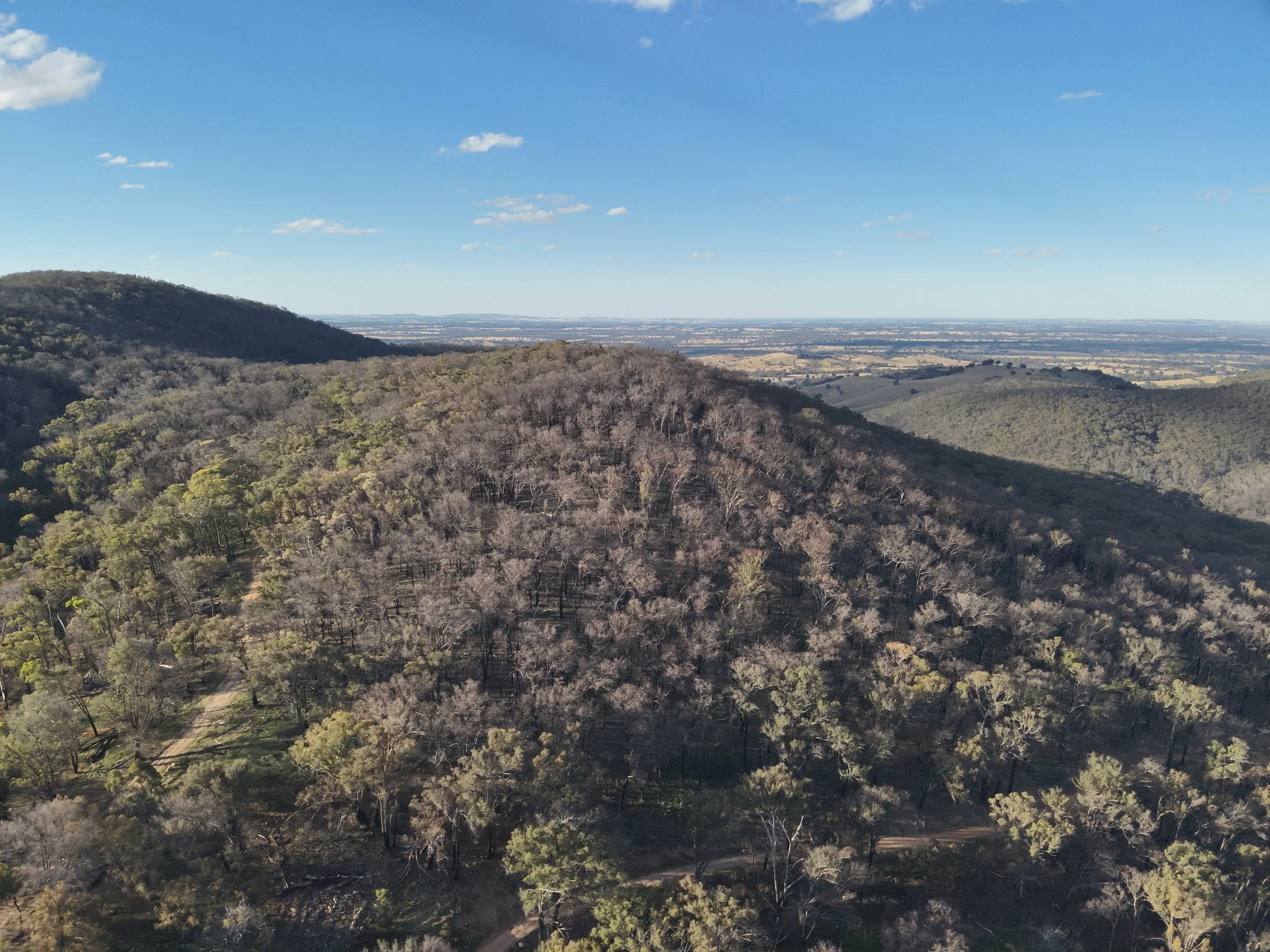
Aerial Mapping
& 3D Modeling
We capture highly accurate aerial data and create detailed 3D models that deliver real value for environmental management, urban planning, archaeology, and infrastructure projects. We quickly and safely gather precise information on topography, structures, heritage sites, utility networks, and more, providing you with clear, interactive deliverables such as orthomosaic maps, elevation models, and realistic 3D reconstructions. These tools enable you to visualize sites effectively, simulate scenarios, monitor changes over time, and make confident decisions, resulting in smarter planning, reduced risks, early issue detection, significant cost savings, and more sustainable project outcomes, all without the limitations of traditional ground-based methods.
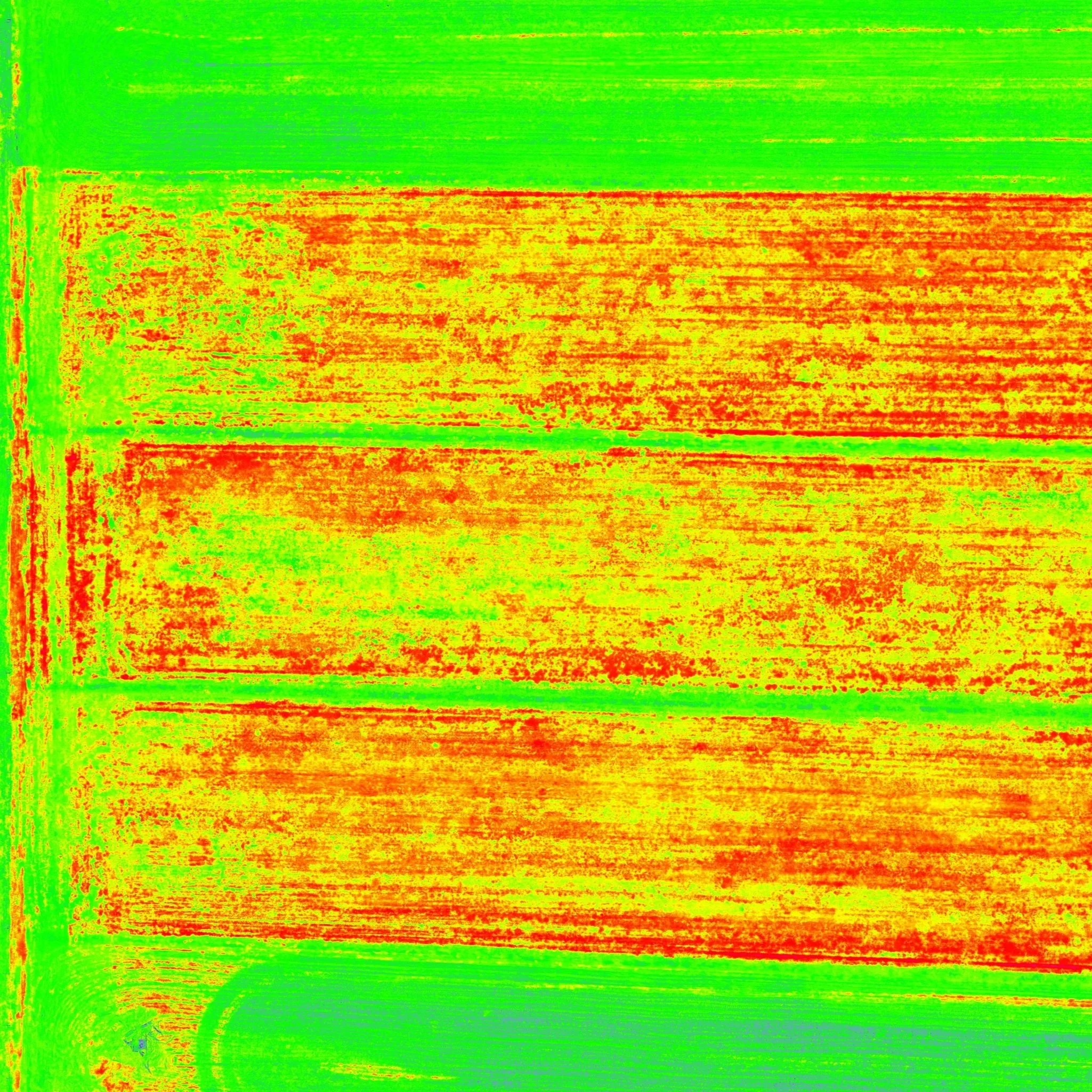
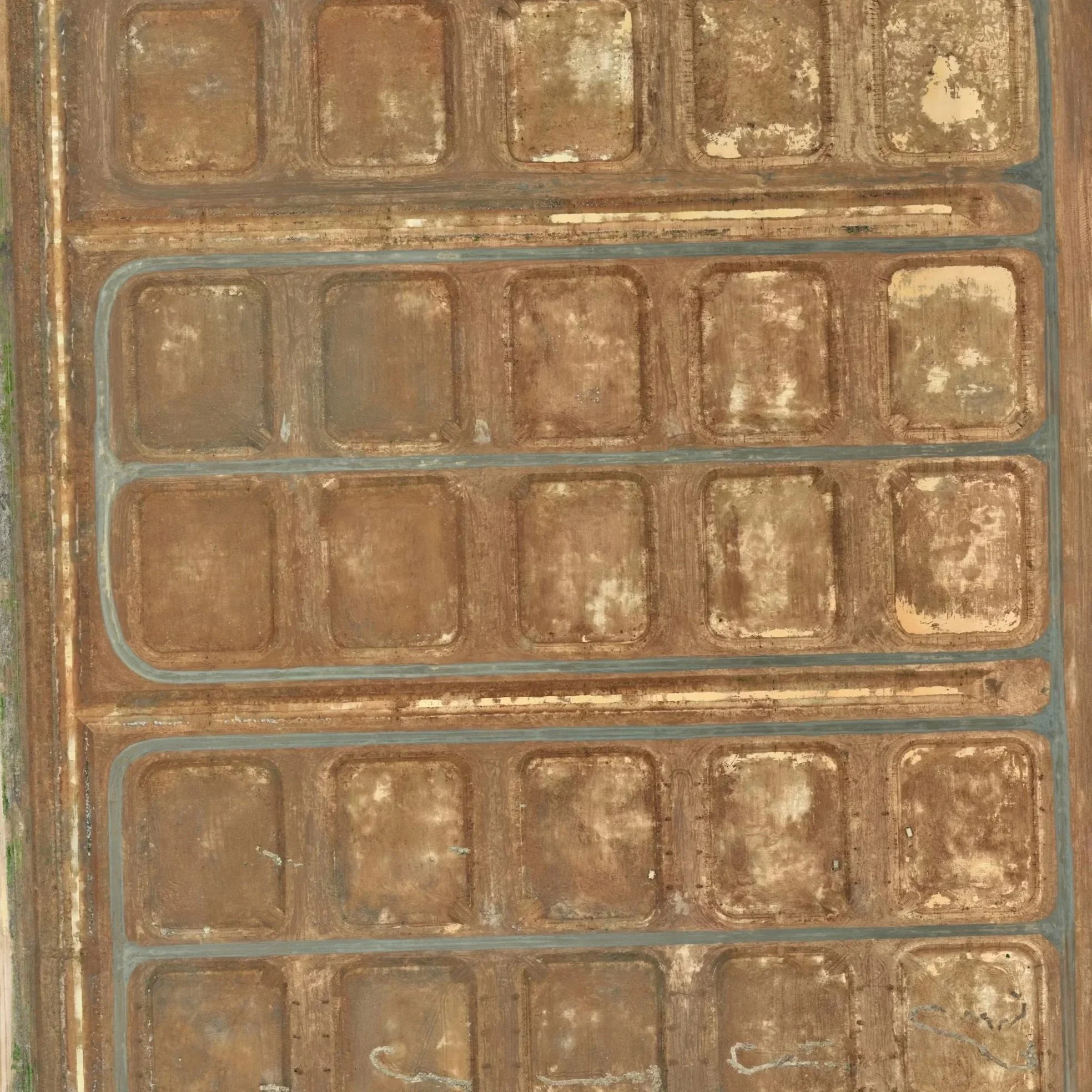
Multispectral
Surveys
Multispectral surveys capture imagery in multiple wavelengths, providing essential data for agriculture and environmental management. They reveal detailed information on crop health, soil conditions, weed levels, and ecosystem patterns.
In agriculture, this technology drives precision farming by spotting early signs of stress from pests, diseases, nutrient shortages, or water issues often before they're visible. Farmers can apply fertilizers, water, and treatments only where required, lowering costs, cutting waste, and lifting yields.
Asset Inspections
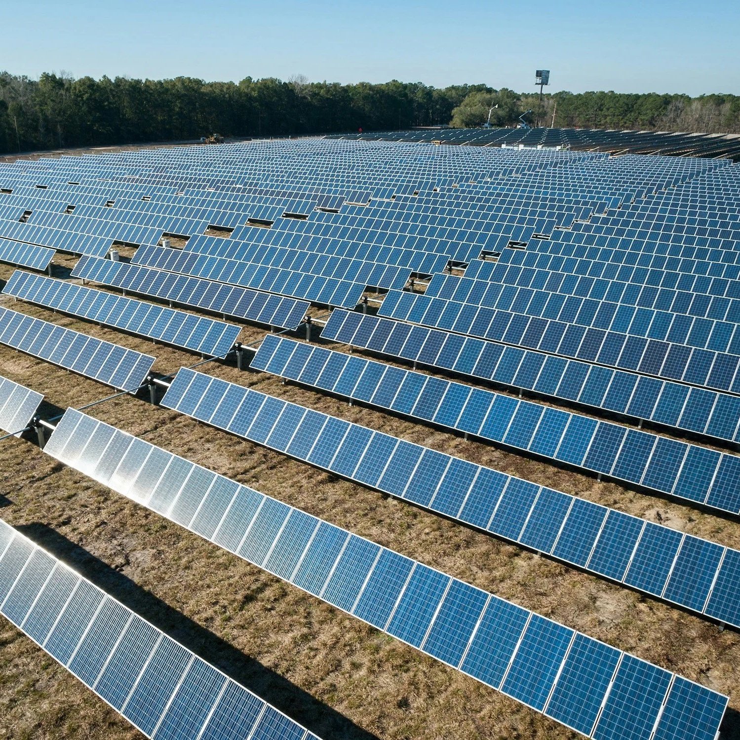
We use advanced imaging technologies to carry out thorough, non-invasive checks on your infrastructure and equipment, making the process much safer than traditional methods. No one needs to physically climb, enter hazardous areas, or work at height to inspect hard-to-reach spots. Instead, we accurately identify issues such as corrosion, cracks, drainage problems, and other potential defects from a safe distance.
Spotting concerns early helps you avoid unexpected breakdowns, prevent major failures, and cut down on expensive emergency repairs keeping your operations reliable and extending the life of your investments.